2024 GAC-NL PHOTO CONTEST
-
2024 GAC-NL PHOTO CONTEST -

Sponsored by:

Our first ever GAC-NL photo contest was a success with 119 photos submitted from 39 contestants from both students and professionals. We would like to congratulate the winners and thank everyone for participating in such great numbers. The photos provided us a glimpse into the places and rocks our members visit, with some perhaps seeing these for the first time.
The 2024 GAC-NL Photo Contest Winners are:
1st place for $300
Ladder Veining - Pit Sound Island
by Jennifer Organ
Ancient Tales of Lobster Head Cove
by Louis Jia-Wei Yun
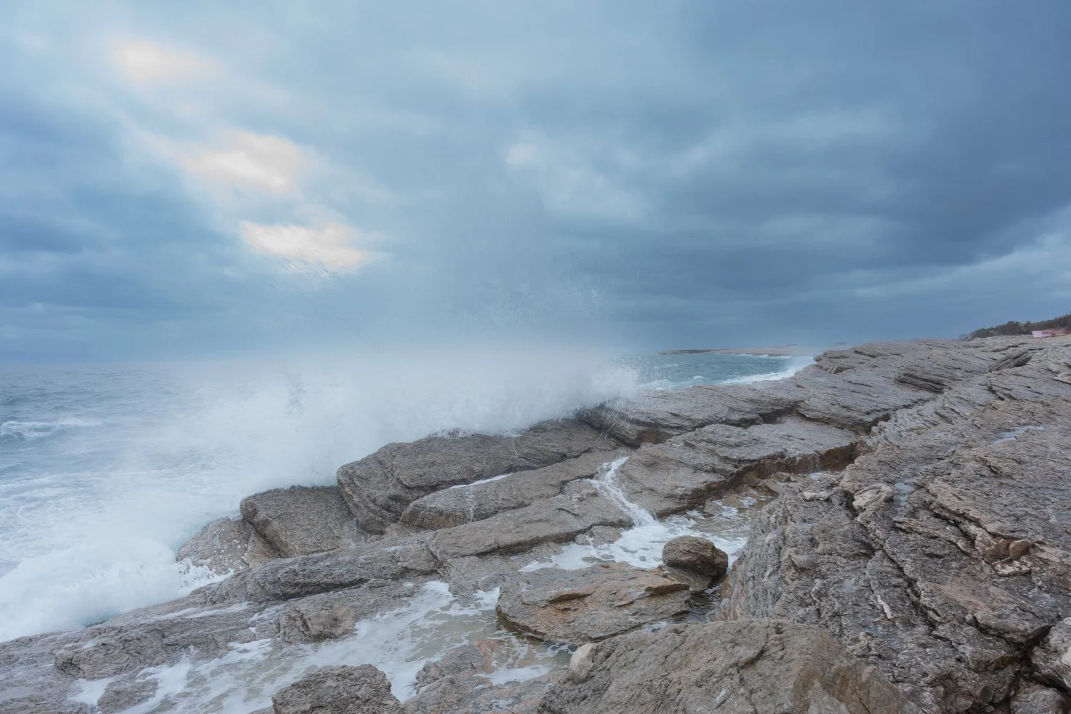
2nd place for $150
The photo was taken at Lobster Cove Head near Rocky Harbour, NL. The presence of chromite sand grains in the Lower Head Formation at Lobster Cove Head documents the erosion of mantle-type rock, peridotite, and a key evidence of the plate tectonics. The tilted sedimentary outcrops crashed by the wave on the coast, as well as the Long Range Mountains at the back, are telling us the vicissitudes of Earth's surface.
3rd place for $50
Mafic Dyke Cutting Archean Gneisses - Hopedale, Labrador
by Mike Hamilton
Honorable Mentions:

The rugged south coast of Newfoundland, by Maria Oneill

Signal Hill Group, The Battery - St John's, by Ivan Yip

Tilting layered complex - Fogo Island, by Jake Broders

Land and Sea - Bonaventure, by Louis Jia-Wei Yun

Skerwink Trail - Port Rexton, by Charles Lapointe
It was an arduous task choosing the winners with many great pictures submitted. Thank you to our judges Zsuzsi Magyarosi, Sarah Hashmi, and Diane Skipton. Diane is also a judge for the GAC National photo contest and her input was valuable in guiding us. You can see all pictures submitted down below.

Tonalite and amphibolite gneiss exhibiting complex folds, shoreline of Greenspond, NL

The Tablelands

Centimeter-size Ediacaran fossils on the Surface E at Mistaken Point, SE Newfoundland. This place preserves some of the oldest known complex multicellular life forms, dating back 565 Ma.

Steeply inclined red sandstone of the Blackhead Formation on the northern arm of the Blackhead syncline.

Glacial erratics of red conglomerate and sandstone lining the rugged cliffs of the coastline trail.

Cripple Cove Class - An iconic sight from the MUN Cripple Cove field school

Triangular features in the cliffs of Chaleur Bay fjord

Tony sampling the Hydra dyke…….it was about -20 with the wind chill…..nowhere to hide! Intermittent snow……..water lines freezing up. Completely numb fingers.

Ptygmatic tourmaline, Kraken North Dyke, Killick Project

Ptygmatic tourmaline, Kraken North Dyke, Killick Project

Multiply folded tonalite gneiss, near Maccles, NL. Interpreted as upright folds superimposed onto original horizontal isoclinal folds.

Complex folding in gneiss intruded by pegmatite dykelets. Taken along the shoreline in Valleyfield, NL.

Sandy Cove ripples

Ediacaran Crown Hill Fm sandstone and conglomerate outcropping at Patrick's Cove, Placentia Bay. I took this at the end of sampling along the shoreline north of the cove for paleomagnetic work, in September. It is serene and brooding at the same time, with a pool for contemplation!

Pillow basalt near Cow Head
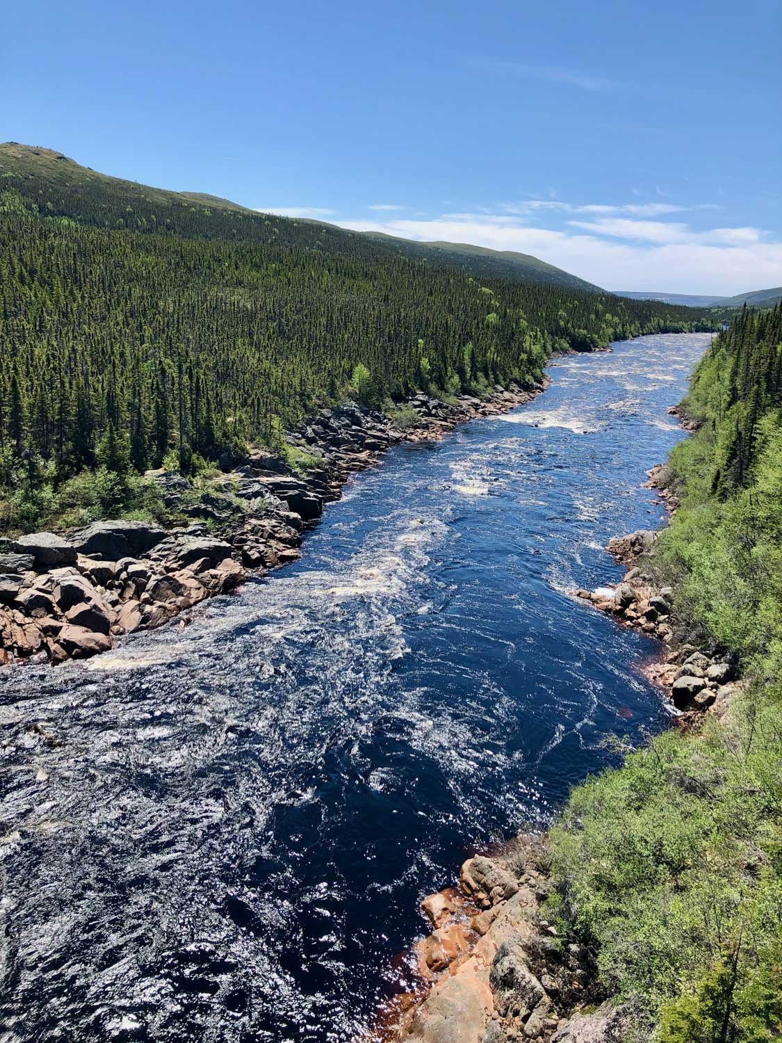
View down Grandys River

Western Brook Pond

Microbial Carbonates

Flatrock Thrust - where younger Late Ediacaran aged Signal Hill red-colored alluvial fan deposits in the footwall are overlain by the Older Ediacaran Conception Group rocks in the hanging wall

Generating grus in Labrador, close to Boarder Beacon

It’s gneiss above Hopedale on a sunny day, Labrador

Perched boulder on gneiss, Hopedale, Labrador

Well-preserved, coarse brachiopod shell found within thick-bedded, high-grade hematite ore in the “Bell Island No. 2 Mine” (SE Newfoundland) offers evidence that the iron formation likely occurred in a shallow marine or lagoonal environment

Maggo gneisses, Hopedale, Labrador

Ripple Marks, Derek Wilton for scale

The sedimentary rocks were deformed during the collision between Ganderia and Avalonia. The tight, asymmetric folds are well-exposed along the river bed at the Head of Baie d'Espoir, Newfoundland.

Interference ripples
Lost River in Labrador. The rocks along the banks are foliated alkali-feldspar granite that is late Paleoproterozic to early Mesoproterozoic age with the straightness of the channel following a normal fault.

Western Brook Pond

Shag Rock

Volcanic rocks, glaciation and waves created secluded beaches along rugged shorelines. Be surprised by the stack and caves at the end of the trail. Mafic and felsic lava flows of the Bull Arm Formation. Chance Cove Hiking Trail.

The beauty of coastal Labrador at the Camp on the Hopedale property

Hills of Labrador

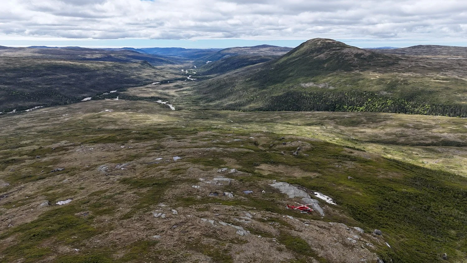
Helicopter capture with Harp Lake in the background

Fieldwork at Francois

Photos from the Lab (MUN)

Photos from the Lab (MUN) - Fossils from the east coast of NL

Moho Ridge, Tablelands, Gros Morne National Park


The only paleontological excavation to ever happen (ongoing) in Newfoundland, Inner Meadows, Conception Bay North

The only paleontological excavation to ever happen (ongoing) in Newfoundland, Inner Meadows, Conception Bay North

The only paleontological excavation to ever happen (ongoing) in Newfoundland, Inner Meadows, Conception Bay North

The only paleontological excavation to ever happen (ongoing) in Newfoundland, Inner Meadows, Conception Bay North

A large trilobite fossil located in Gros Morne National Park.
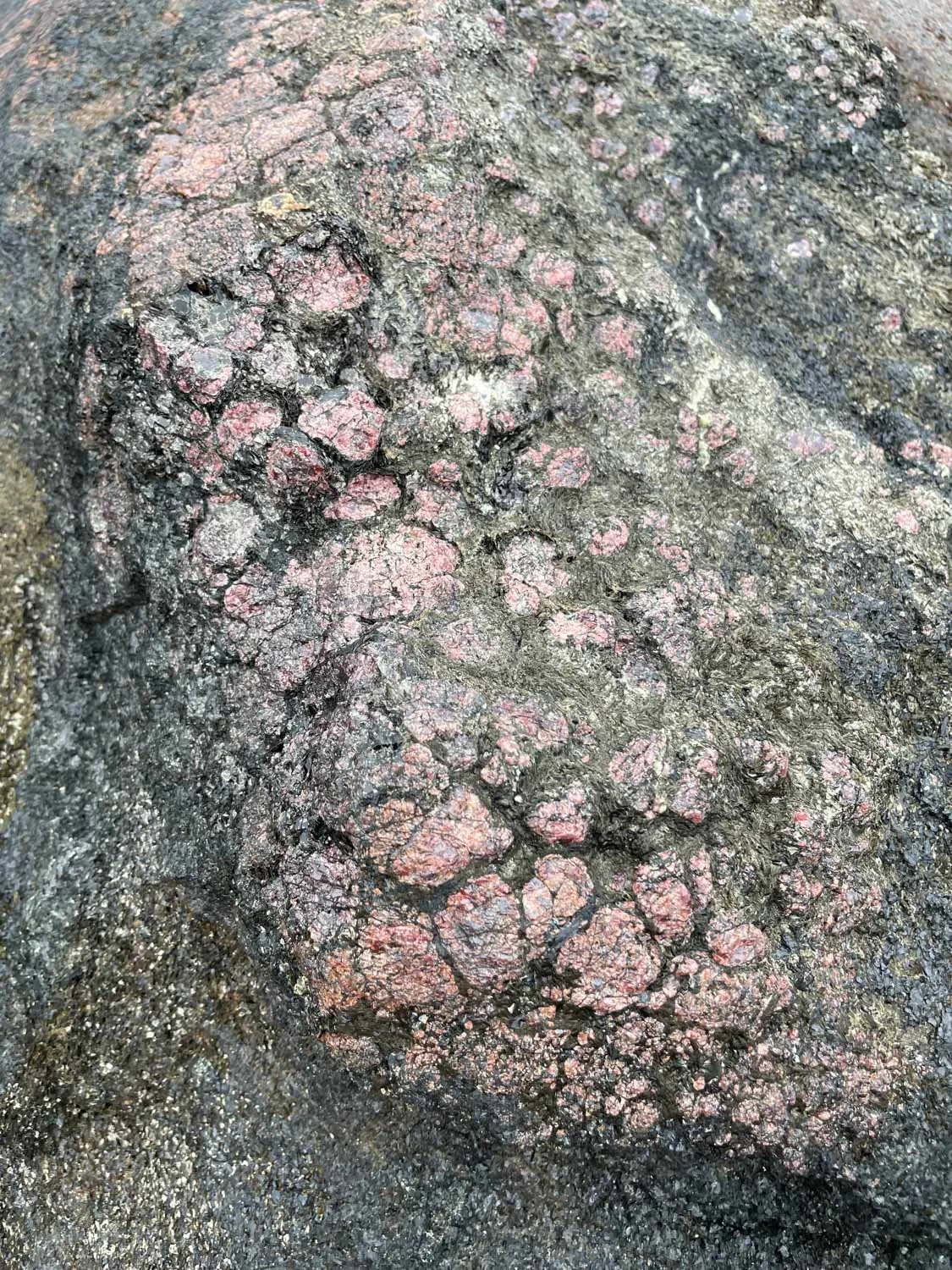
Abundant garnet in outcrop near Hopedale

Magma mingling on Fogo Island featuring MSc grad Ben Graham

A geologist's best friend - field photo of myself teaching my dog how to map structural features (Eastport peninsula)

“gold and lichen” Titan prospect (New World Island)

Green Point – Cambrian-Ordovician boundary

Green Point – Cambrian-Ordovician boundary

Who doesn't love some good lamination? This was taken on a fossil tour we were leading starting in Little Catalina. We were examining the cross section looking for turbidity sequences. I wanted to include a photo that was not your typical landscape type (although those are beautiful as well).

“commingling” Mount Peyton monzogranite and diorite

Near Hopedale

Overturned siliciclastic mudstones of the Devonian Clam Bank formation, Lourdes, Newfoundland. Taken in Lourdes, NL
Ancient reef environment of the Ordovician Long Point formation, Blue Beach, Newfoundland. Taken in Blue Beach, NL


taken on the Catalina hike - The surface is known for having a fossil called "Fractofusus".

Bedrock ridges and streamline forms – SW NL

Hofmann surfaces in Bonavista. I thought these looked like chatter marks but I have no idea! Thought they looked funny and foreign :)

The dish structures imaged in the photo were observed in a Late-Ediacaran aged alluvial fan deposit in the Signal Hill Formation

Labradorite, Pearly Gates, Labrador

fossil (graptolite?), Green Point

5 interlaminated layers of a volcaniclastic unit - Upper formation of the Mistaken Point Formation, Middle Cove. Granule conglomerate transitioning to fine wacke sandstone, followed by a sharp contact with fining upward ash tuffites and crystal ash tuff, concluding with a sharp contact to red mudstone.

Bay of Islands fold

Ovoid surface, Voisey’s Bay

Corrie in the Francois Granite

Skerries Bight – (Grace Catherine) Blackhead Formation of the Signal Hill Group

The photo shows the Francois granite pluton landscape and a small waterfall.

Along Victors Brook thick, continuous section of Mainland Fm. sandstone of the Goose Tickle Group (Middle Ordovician autochthonous foreland basin strata)

Flute clasts on the sole of a sandstone bed within the fold hinge

The Tablelands

Captured from a speedboat during a summer expedition for Dr. David Lowe (my supervisor) and Andrea Mills. The ± 10m unit is a sedimentology formation within the Signal Hill group, identified as a late Pre-Cambrian (Ediacaran) arc unit located on the Avalon Peninsula. The stratigraphy from top to bottom consists of conglomerate interbedded with medium to coarse sandstone, which gradually transitions into massive sandstone. This unit signifies a depositional environment characterized by fluvial-deltaic processes.

Folded sandstone and shale of the American Tickle Fm. of the Goose Tickle Group from Piccadilly Beach

Flat Rock Cove

Flat Rock Cove - Flat Rock Thrust

Granite breccia

Flat Rock Cove

The Skerries Bight - Devil's Washboard at The Skerries Bight. This drone photo was taken at the Skerries Bight near Sugarloaf Head in St. John's in October 2022. From above, the vertical sandstone beds are marked by striking, undulating ridges and grooves that create a textured pattern reminiscent of a giant washboard. These outcrops of the Blackhead Formation, shaped by erosion and weathering, highlight the intricate interplay of forces that have sculpted the landscape over time.